Plan The Trail With Confidence
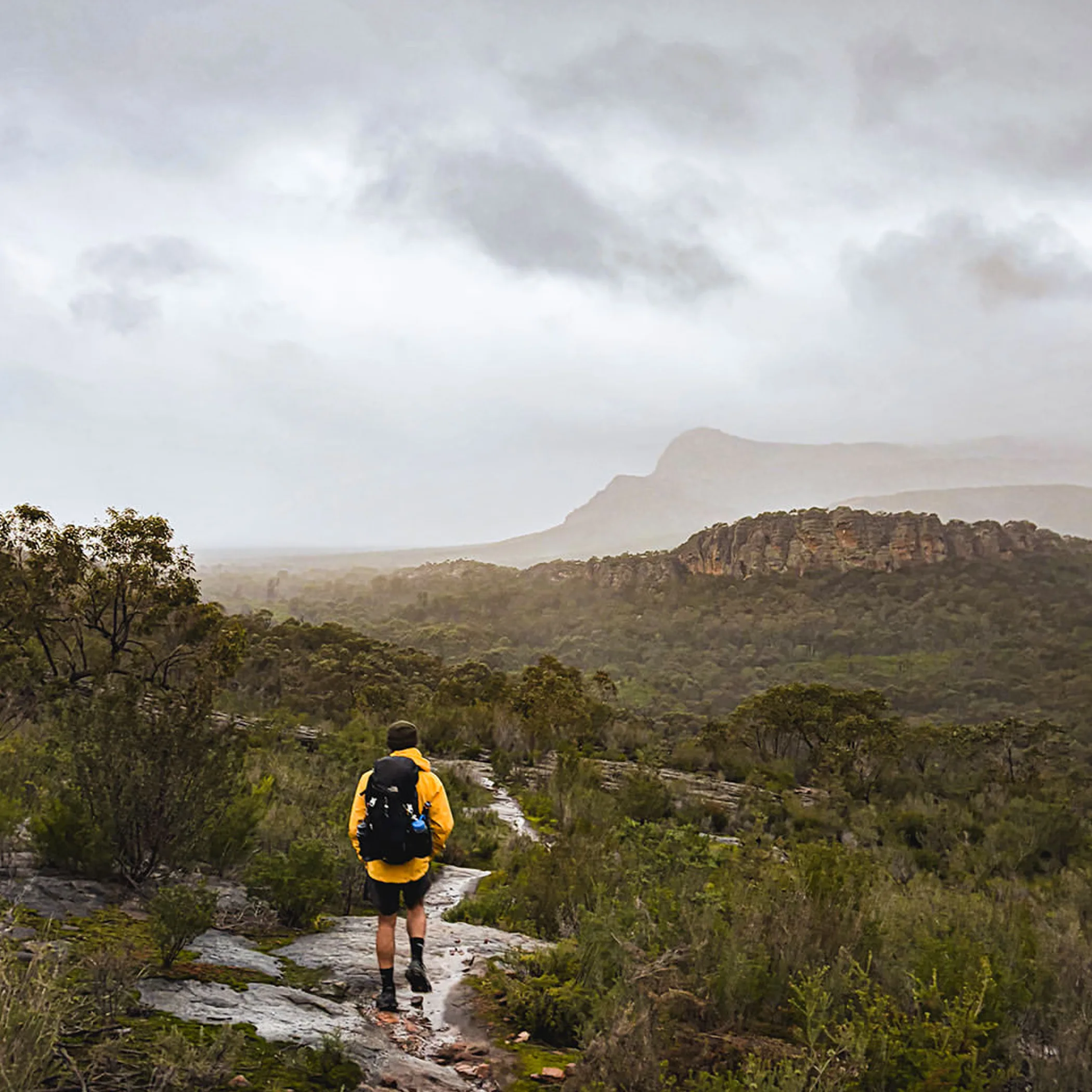
A 164 km trek from north to south across the Gariwerd wilderness, the Grampians Peaks Trail is typically done in 13 days and 12 nights. We have put together this guide to cover everything from the route and access to transport, bookings, food and water, difficulty and safety. That way one does not have to make do with an important oversight partway up a rocky incline.
My name is Carys Lindley. In my travel writing I tend to focus on the practicalities that are too often omitted: where to put the car, what the track is like for a nervous walker, how much of your rations will fit in a pack and the realities of some hard weather. You will find the Grampians Peaks Trail well worth the trouble of preparing for, but it is no place for a casual stroll and a scenic lunch.
Understand The Trail’s Scale
Between Mount Zero to the north and Dunkeld in the south, the trail makes its way through Grampians National Park (or Gariwerd). It is a mix of forest, open woodland, steep gullies and hike-in campgrounds, as well as the rocky ridgelines; Halls Gap is the service town you will find near the centre, making it a convenient base for hikes in the Grampians.
Do not be deceived by the distance alone. Add in the pack weight, exposed ridges, uneven rock and the weather and a short day can be more arduous than the figures would have you believe.
Know The Key Numbers
| Feature | Planning Information |
|---|---|
| Total distance | Some 164 km |
| Standard duration | 12 nights over 13 days |
| Direction | North to south |
| Starting area | The northern Grampians at Mount Zero |
| Central service point | Halls Gap and the access roads around it |
| Southern finishing area | Dunkeld |
| Difficulty | Varies with the track, Grade 4 or 5 |
| Camping style | Hike-in campgrounds with basic facilities and water tanks, to be booked |
These are averages to go by, not guarantees. One might stick to the itinerary and another may require more time for navigation, sore feet, the odd photograph or a pack that looked all right in the lounge room but is another matter on the ground.
For the official word on park advice, track information and any closures, look to Parks Victoria’s Grampians National Park page prior to your departure.
The North-To-South Route
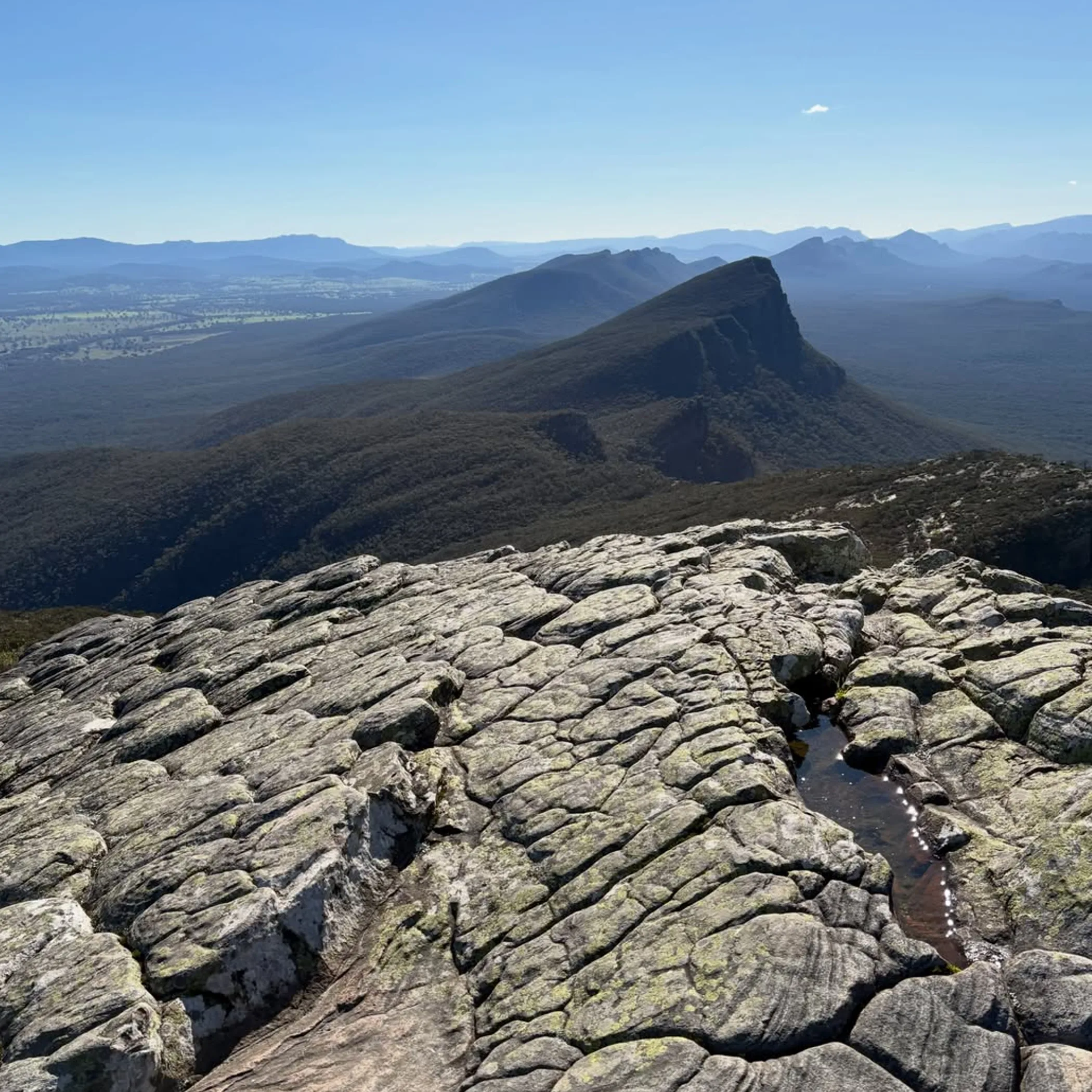
Most will walk the Grampians Peaks Trail from Mount Zero in the direction of Dunkeld. This lends a certain progression to the trip as you work through the northern, central and southern parts, though you should not expect the terrain to soften of its own accord as you approach the end.
Provided the track is open and properly marked there is little trouble with navigation, but a good offline backup and the most recent map of the trail are essential. Do not count on mobile reception in the gullies or once you are away from Halls Gap.
Three Sections To Consider
You will be tested by the character of the route in the northern section around Mount Zero, with its climbs and wide views over the ranges. It is a good way to see if you have packed sensibly. Those who make the mistake of regarding the first day as a warm-up rather than the start of a multi-day affair are usually caught out by the terrain.
In the central section you come within easy reach of Halls Gap and the more sensible options for a resupply of food, putting in a night’s accommodation or making an emergency change of plans. There are day walkers here too, so a well trodden path is not to be taken as an easy one.
Then comes the southern section on to Dunkeld with its long ridges and varied vegetation. It is a sustained effort and small things are magnified. A blister you put up with on day two will be a nuisance by day ten when every step is on unlevel rock.
Make Proper Use Of Your Map
Before you leave, get the PDF of the latest Grampians Peaks Trail map from Parks Victoria and put a paper copy in your kit as well as saving it offline. See that it corresponds to the route on the ground; fire damage or a temporary detour can put paid to your access. Put down where the campsites and water tanks are, any road crossings and where you can get out if need be. A map is for answering questions, not for display on the kitchen table. Should you be using an app, have the maps downloaded in advance; reception is not something to plan on.
Getting Around
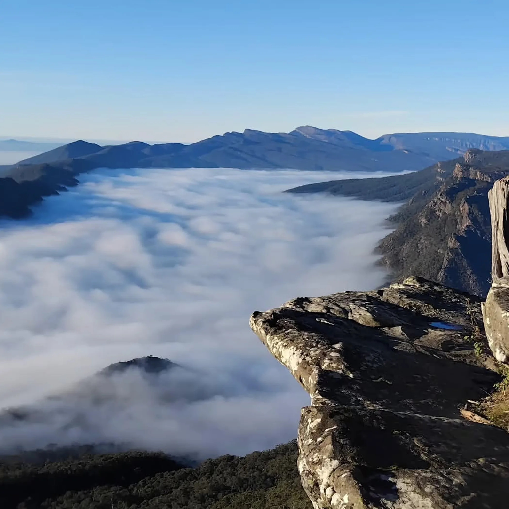
Accessing the Grampians Peaks Trail is not as simple as driving to a car park and doing a loop, some organisation is called for. Transport is something to put some thought into prior to booking a campsite, given the distance between the park’s northern and southern trailheads.
For accommodation and supplies Halls Gap is your best bet as a base; from there you have Dunkeld to the south as an end point and Mount Zero for access in the north. Be sure to look into road closures and conditions before you make a move, all the more so in the wake of a storm or bushfire.
Your Car Strategy
With two cars a group can do a simple car shuffle: one vehicle is left at the finish while the rest of the party makes their way to the start. It is time consuming but it affords a degree of flexibility should the plan alter and spares you from having to rely on what little public transport there is.
One vehicle will do if you are careful to find an approved and secure place to put it, and have checked the rules for long-term parking first. A remote spot by the side of the road is not necessarily up to the task for several days’ parking, nor should valuables be left on show.
Local operators may put on a Grampians Peaks Trail shuttle though prices, timetables and the like are subject to change. You could enquire with the Grampians Peaks Walking Co. for a guided walk or transfer, pending availability. Do not take “shuttle” to mean door-to-door service; ask if they can accommodate your pack, date and the particular trailhead you require.
Public Transport
The V-Line bus is of use in getting to the wider Grampians, yet it does not get you to the trailhead. Some form of local conveyance from the town of arrival to Mount Zero, Halls Gap or Dunkeld will likely be called for. Give the timetable a good look over, a late run can make for an uncomfortable night before the hike is even under way.
When budgeting for food and campsite fees, factor in any transfers and transport as well. An old trip report is no substitute for up to date figures as costs will differ according to the season and size of the group.
An Itinerary to Live With
Any plan for the Grampians Peaks Trail has to be in keeping with your fitness and how much you want to put up with when the weather turns. The 164 km trail is broken down into 13 days and 12 nights on paper, but whether those stages are manageable is another matter once you consider the elevation and state of the track.
In planning most fail to give enough weight to the stops and just count off kilometres. Put a full pack on and tackle a steep incline in the wind and on wet rock and the day will run longer than covering that ground on a level surface.
Trip Length
The full itinerary is for those with the experience to handle Grade 4 and 5 terrain and the camp routines that go with it. Not for a beginner who has not done an overnighter with a loaded pack.
A three-day outing is an option for a shorter taste of things. Pick a section where you can get in and out easily and see that your transport and campsites are in order for the reduced schedule. There is no point in walking three days into the back country and expecting a taxi to materialise.
Make Of Your Day
Where time is short, a day walk in the vicinity of Halls Gap or similar is preferable to trying to ape the multi-day trail. Halls Gap is generally the most sensible base for access and provisions. You will not have the full trail experience in a day, but a hike over some rocky climbs and uneven descents will tell you if you are suited to them before you commit to carrying a pack for two weeks.
Campsites And Facilities
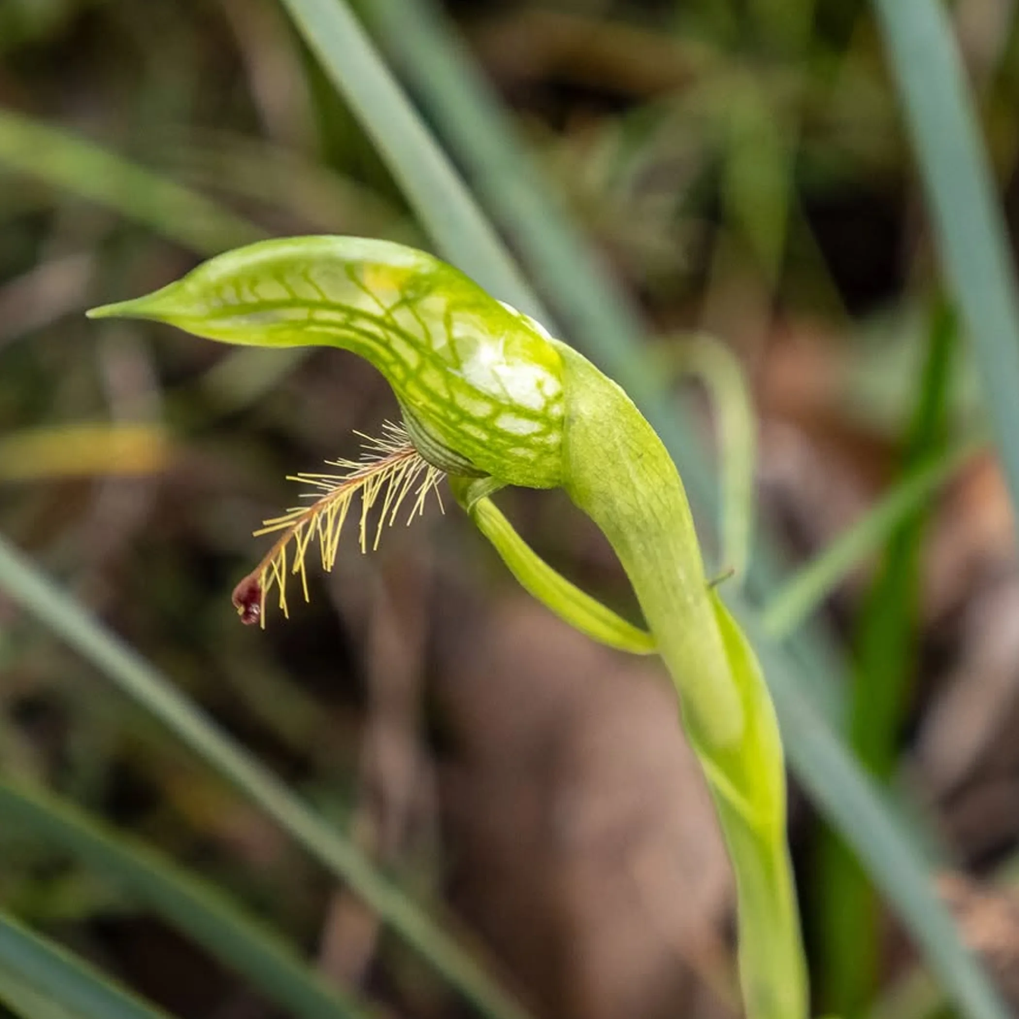
There is no informal bush camping on the Grampians Peaks Trail, only designated hike-in grounds. Booking is part of the logistics, not a formality. Go through the Parks Victoria system for the process and conditions and book the whole sequence ahead of time, making sure to have the confirmations offline. The bush will not put you up in a spare room and a full campsite is indifferent to your fatigue.
What you will find at a hike-in campground is limited services, perhaps a tent platform, water tank and toilet. One has to provide for one’s own cooking, hygiene and waste disposal.
For your gas stove, see to it that one is on hand which is in keeping with fire restrictions in force, along with the appropriate fuel and a simple meal system. Put the lighter in something waterproof. Do not leave any food scraps at camp, not even crumbs you would think nothing but an ant of some determination would be after; seal away provisions from animals and put rubbish where park rules dictate.
A guided walk has its appeal for those who would rather let an operator deal with the logistics of food, transfers, group support and bookings than have to make all the planning decisions themselves. It is a way to enjoy the landscape without the burden, provided one has first ascertained what is included and the fitness demands of the trip.
Water Food And Gear: Planning
The water tanks at a campsite are a practical thing on the trail but they do not obviate the need to plan. Supply can be called into question by dry weather, the quality of the water or temporary restrictions, so have the capacity and treatment equipment for whatever comes next.
Halls Gap is the place to resupply on food, though your transport and itinerary will determine how easy that is. Make allowance for delays when you work out your meals. An elaborate meal is of little use when you are cold and fatigued and cooking in the dark; high-energy rations are better.
What to pack for the conditions
- Maps in paper form or offline digital versions and a power bank with a charge.
- The means to treat water or a filter and sufficient capacity and food for the stage ahead.
- You will want sturdy shoes, a head torch, sun and rain protection and warm layers.
- Also first-aid and blister kit, personal medication and emergency shelter.
- A gas stove, suitable fuel, a waterproof lighter, rubbish bags and, if the park advises it, a trowel.
- A PLB or satellite communicator is advisable, with trip details and contacts left with someone at home.
I have a rule about testing the pack and footwear before you go. Straps that are no trouble for ten minutes can be quite offensive by lunchtime, so put in a few hours with the load on.
Weather and Emergencies
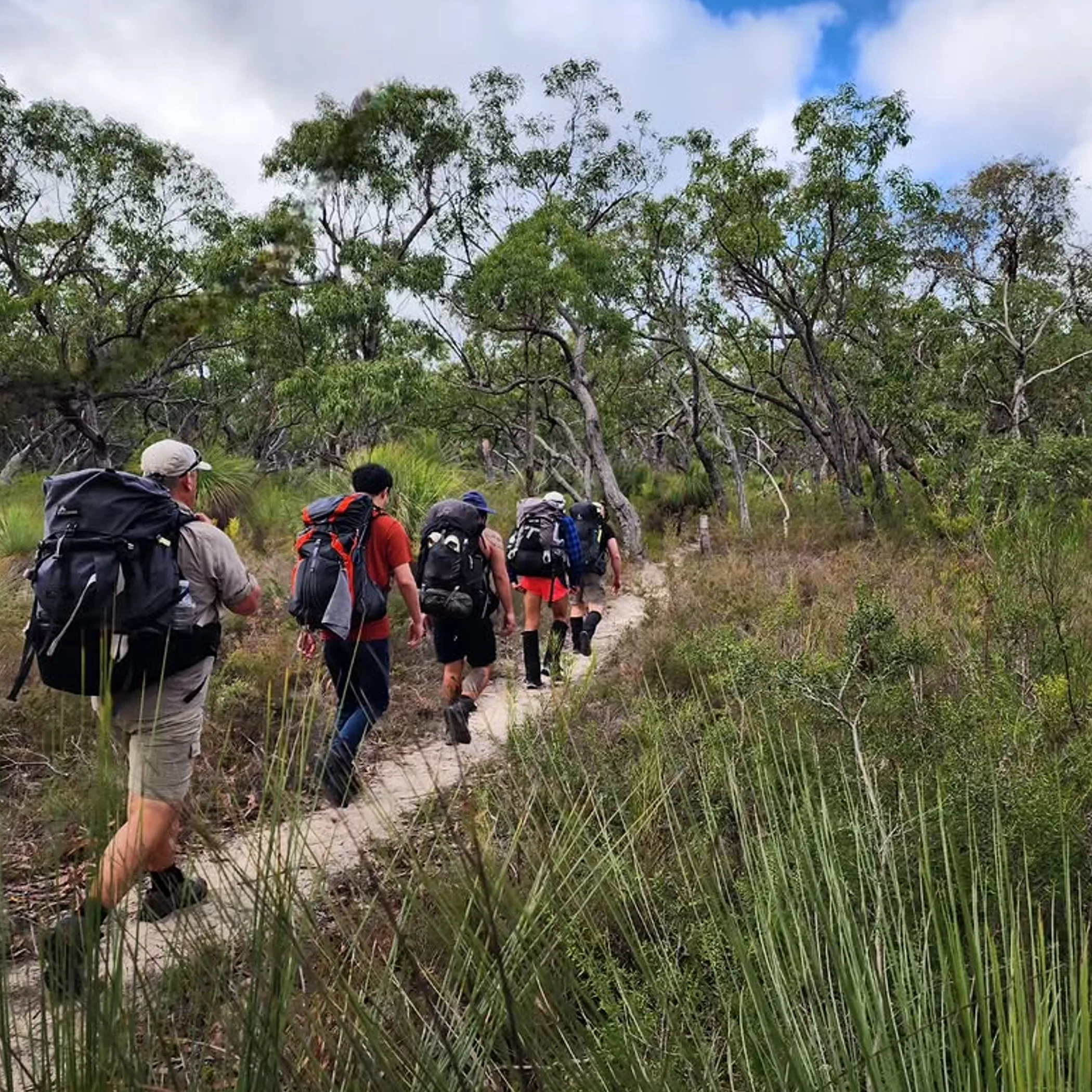
In the ranges the weather is fickle. Rain will slow your descent and make the rock treacherous, wind on an open ridge can rob you of warmth and confidence, and in the heat you will need more water and there is bushfire danger. In the warmer months safety from bushfire is paramount. Look at the ratings and alerts for each stage and know your exit options. Should Parks Victoria put a closure on an area you alter your plans accordingly, a pre-paid site does not entitle you to a closed track.
Know Your Limits
One needs a measure of balance, confidence and fitness for the uneven ground of a Grade 4 or 5 section. This is not a trail for the uninitiated overnight walker, young children or anyone with a medical condition that is not under control, still less one who will not make conservative calls or put up with a heavy pack.
Before you set out, give your vehicle and booking information and the route to someone you trust. A PLB is a good backup but not an excuse to press on when you should turn back. If there is an injury or someone is overheating, stop and get help, do not be a slave to the itinerary.
When to go
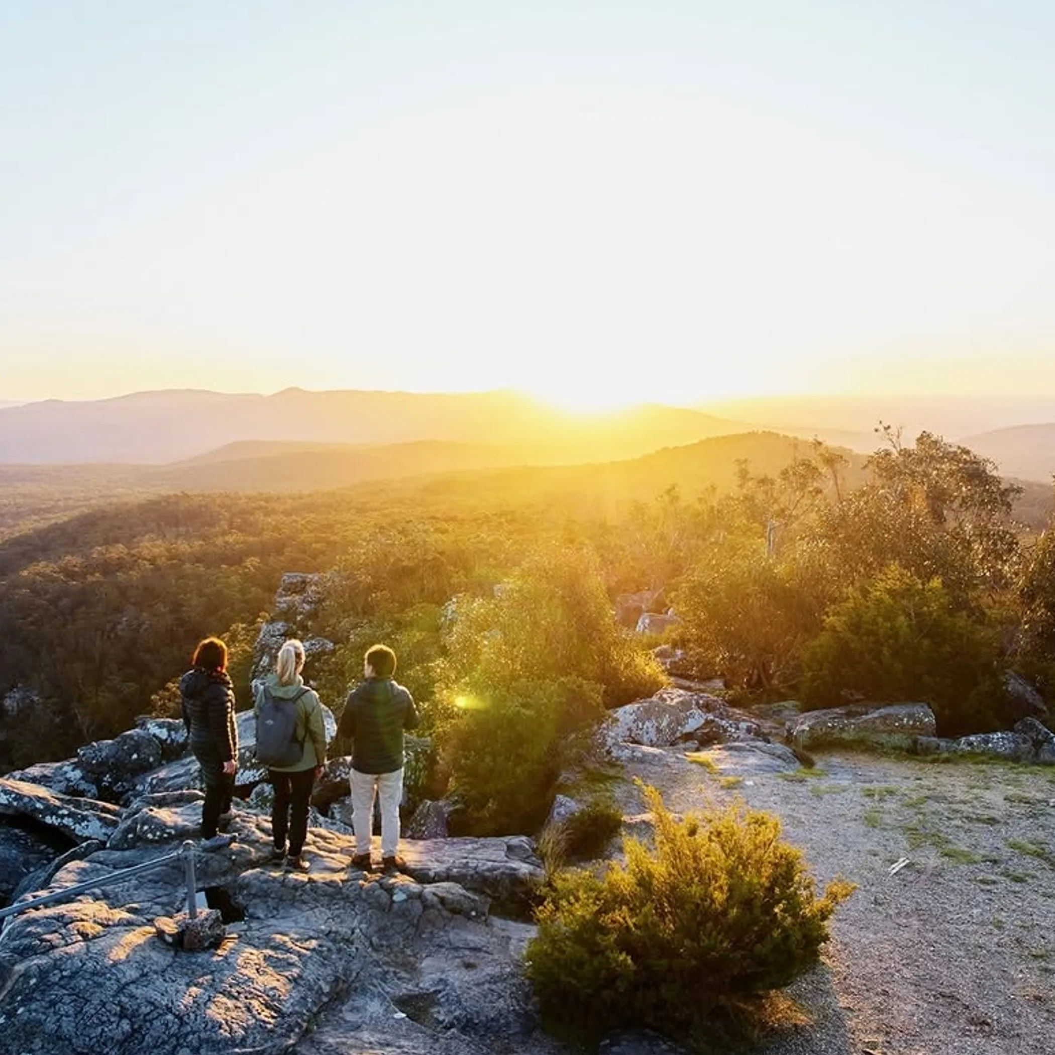
You will not find a perfect season for the Grampians Peaks Trail. The cooler times are easier on the body but then you may have to contend with less daylight, wind and rain on the exposed parts. There is more daylight in the warmer months but one has to contend with greater heat stress, a higher demand for water and the prospect of bushfires.
Do not depart without seeing what the forecast has to say and checking on fire conditions, any track closures or water availability. In hot weather it is best to be an early starter, put some protection on your skin and take your breaks. A clear morning is no assurance that the afternoon will be as obliging.
Timing should be commensurate with experience
An experienced hiker might opt for a longer itinerary when the going is cool; those less so would do well to factor in extra time for navigation and rest. Put in a buffer day where transport is concerned. Being a day late to Dunkeld is an inconvenience, missing a bus or vehicle collection altogether is another kind of bush comedy.
Some questions are asked before one puts down a marker for the route
The truth is preparation will make the difference between a hike that is satisfyingly hard and an extended row with your boots.
How Hard Is The Grampians Peaks Trail?
Hard is the word. With 164 km to cover you will have to deal with elevation, uneven rock, exposed ridges, overnight packs and whatever conditions present themselves. The Grade 4 and 5 sections are for the well trained and experienced.
What Is The Best Part Of The Grampians Peaks Trail?
You will not find a section that is universally agreed upon. The north has its dramatic rocky terrain, the centre is the most convenient way to link up with Halls Gap, the south gives a good sense of moving on towards Dunkeld. Let your fitness and means of transport dictate your choice, not some single viewpoint.
The Hardest Trail To Walk In The Grampians National Park?
By virtue of the pack weight, the length and the days it takes, the Grampians Peaks Trail is as demanding a sustained hike as you will find in the park. Then again a day walk on steep ground can be harder still, it is a matter of conditions and how you are accustomed to them.
Why Is The Grampians Peaks Trail So Expensive?
It is not just a case of walking a track. Between the campsite and accommodation bookings, food, a shuttle or car shuffle, equipment and perhaps some guided support, the costs add up. And they are subject to change, so refer to Parks Victoria and the operators for the latest figures.
Is The Full Route For Beginners?
Not as a first overnighter. Do a few day walks, get used to a loaded pack and try a straightforward overnight before you commit. There is a safer way to go about it than to put in for the whole 13-day itinerary; a shorter section with an easy exit is advisable.
A Plan Of Action
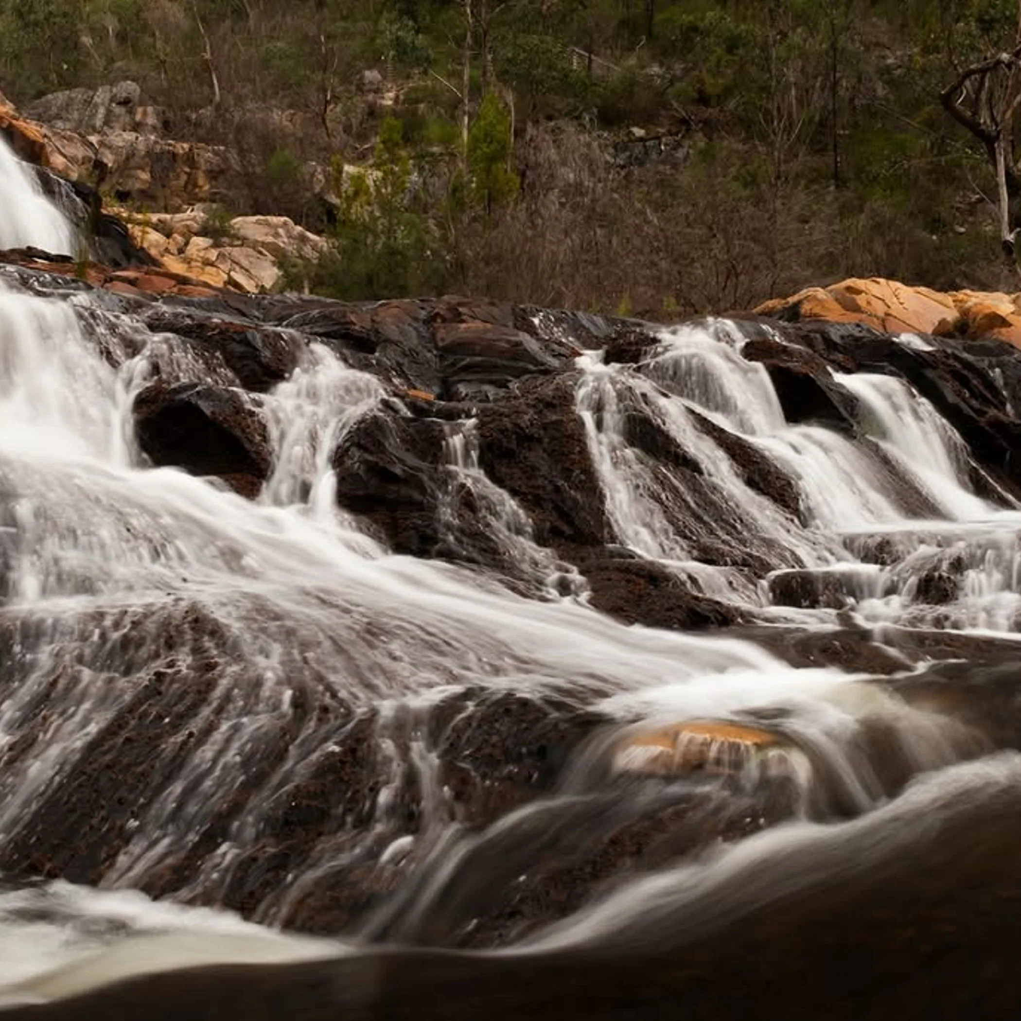
This is a proper Australian multi-day hike and the rewards are there for those who show the distance and weather the respect due. Get the map, book the campsites, sort out transport from Mount Zero to Halls Gap and on to Dunkeld, have your water and food and allow for the odd slow day.
Good preparation ensures you are thinking of Gariwerd and not some problem that could have been avoided, whether you are after the full route or a part of it. The ranges are not going anywhere once you have double checked the booking system, stowed the blister treatment and conceded to having one more snack.